
-
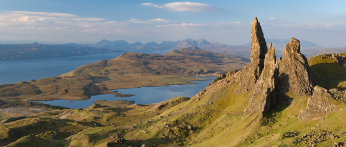
The Old Man of Storr
-
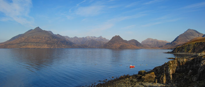
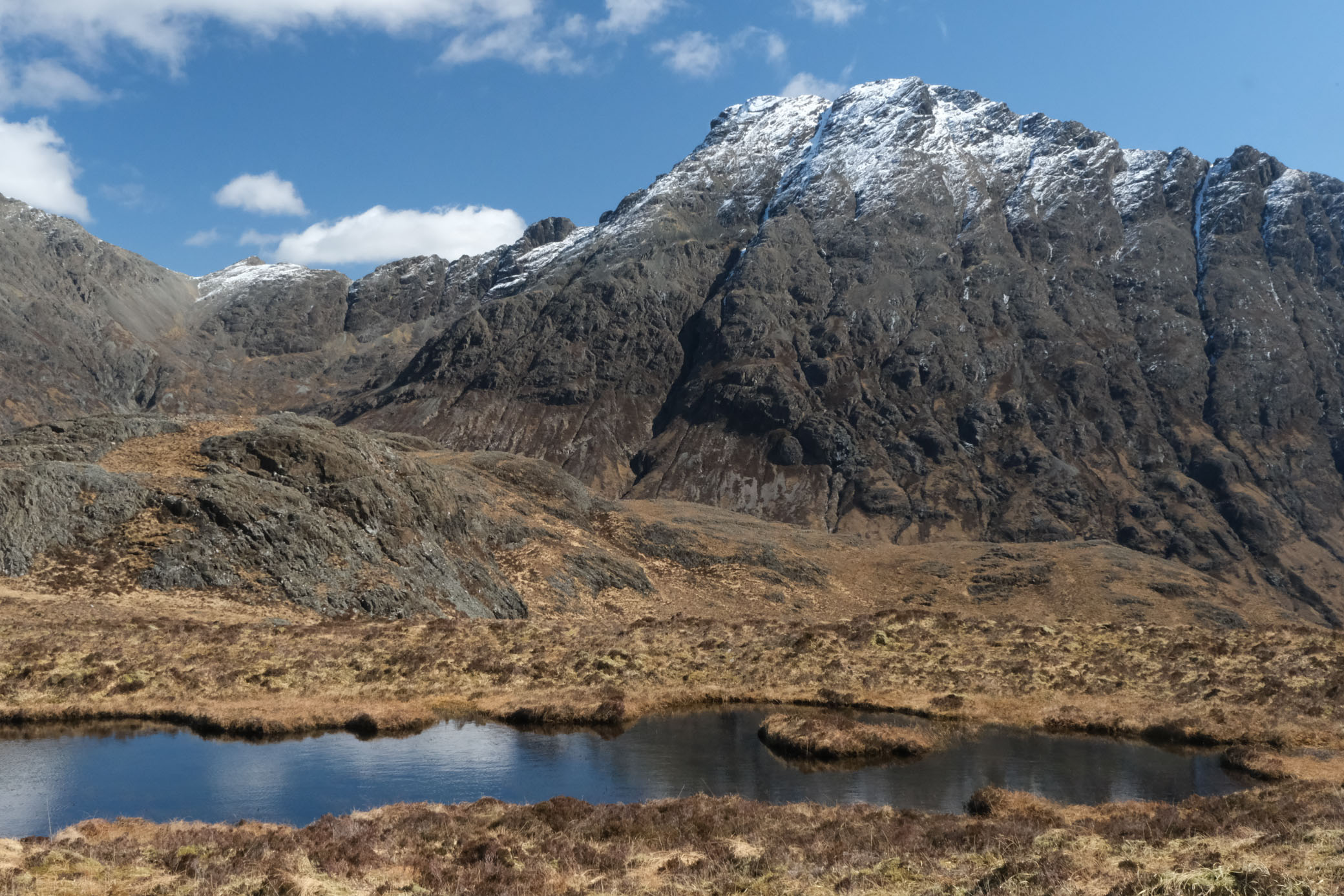
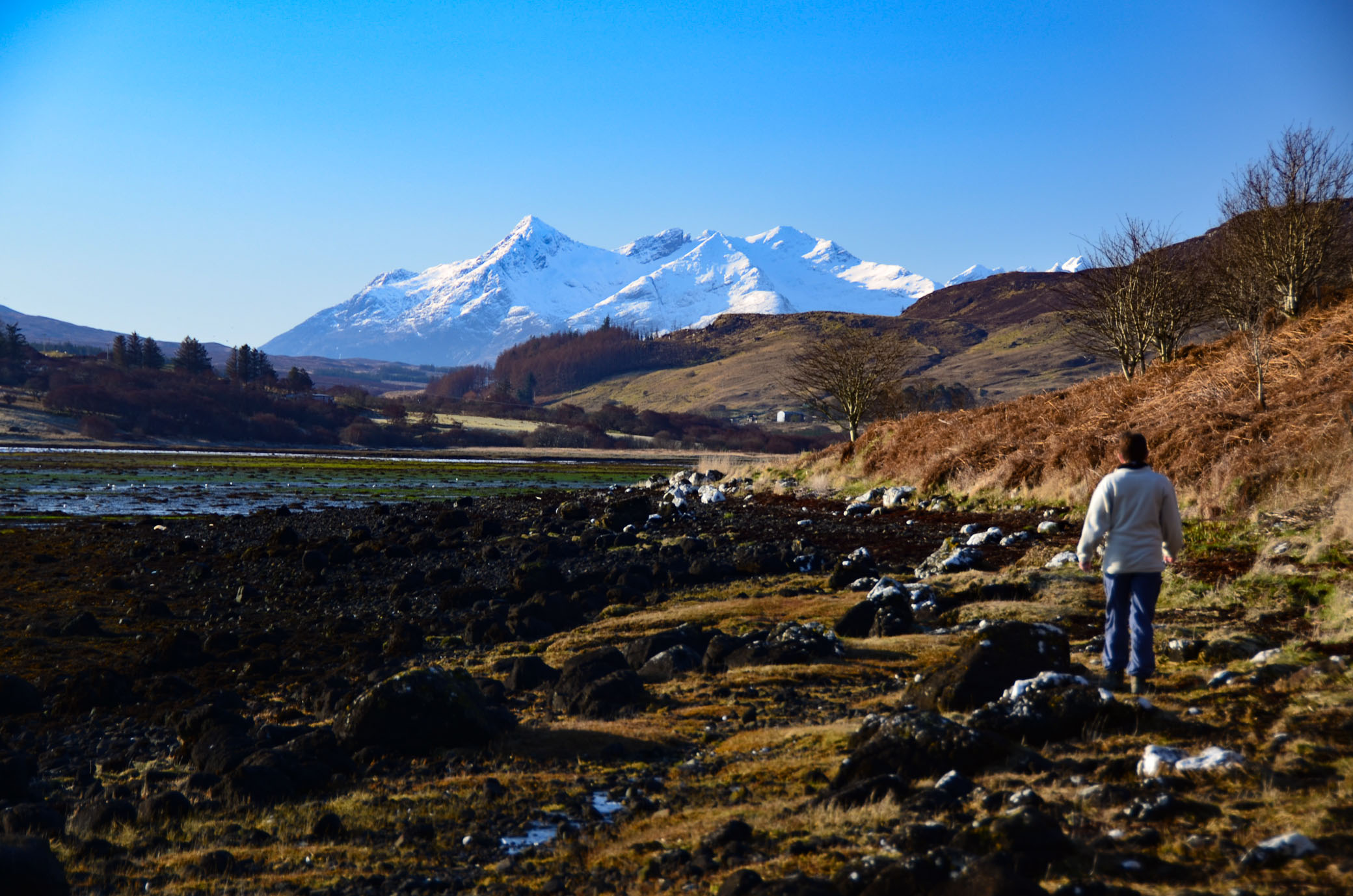
The Cuillin from Elgol
-
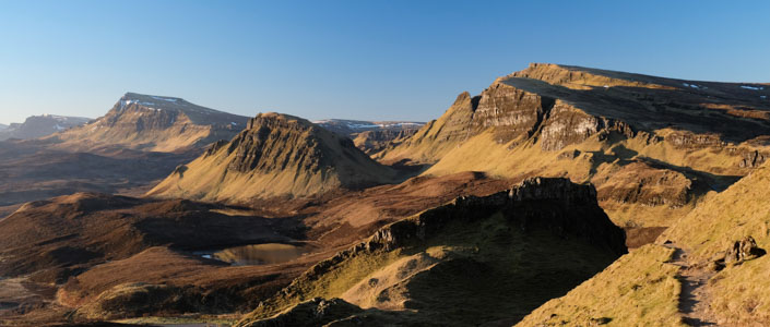
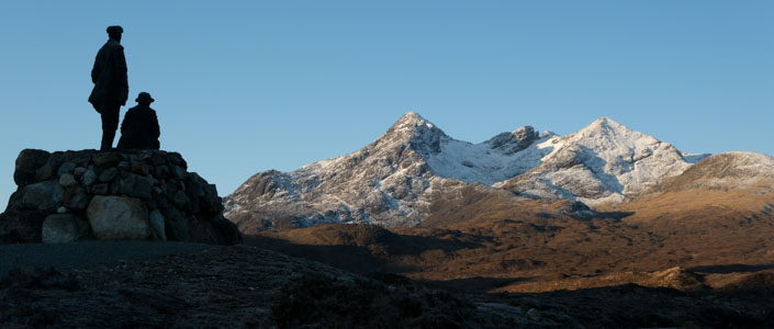
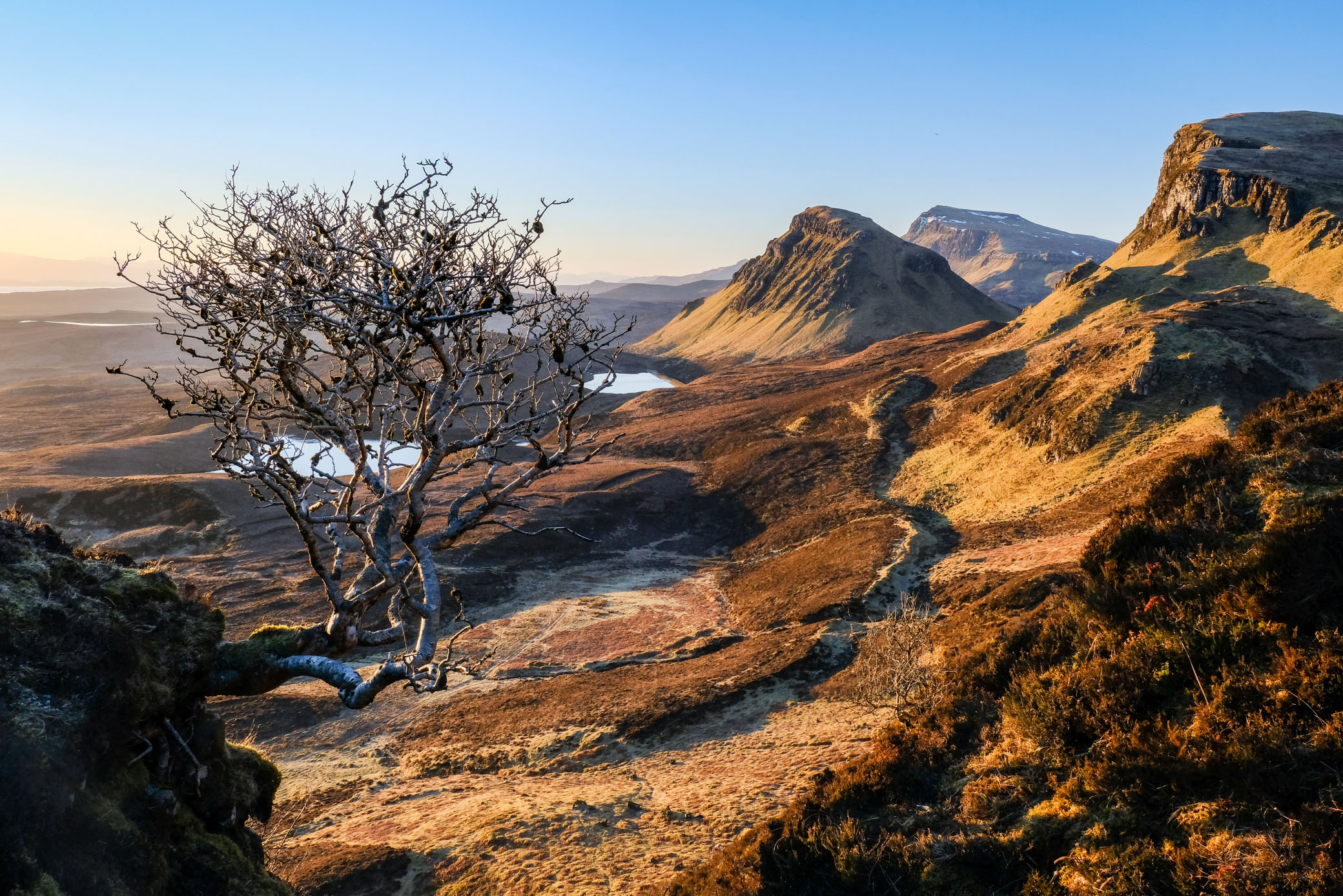
The Trotternish Ridge
-
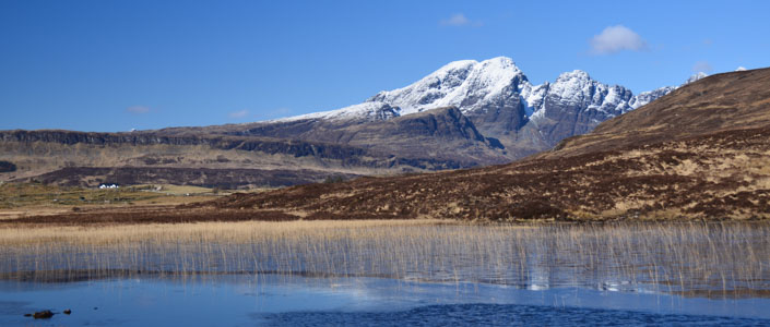
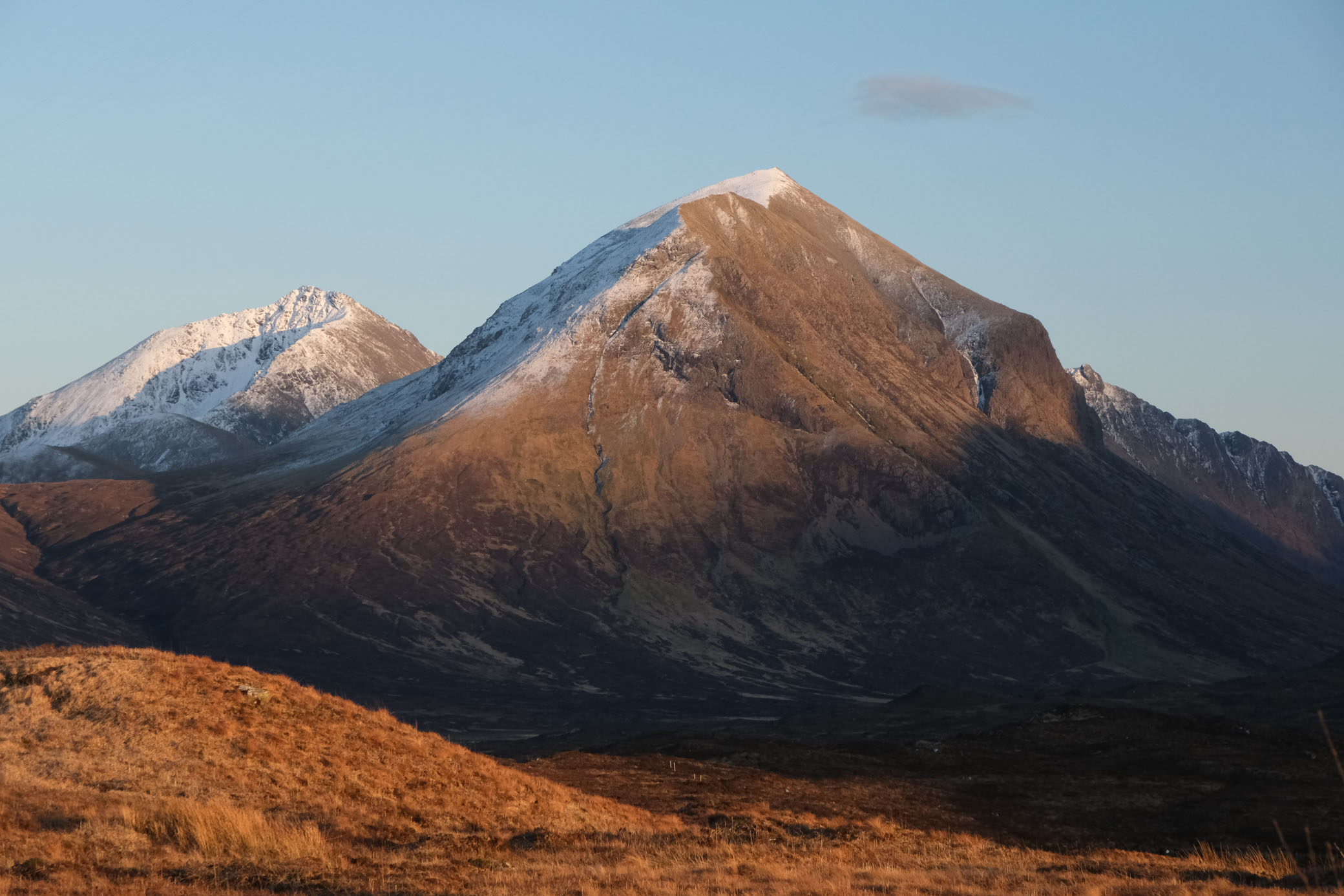
Bla Bheinn
-
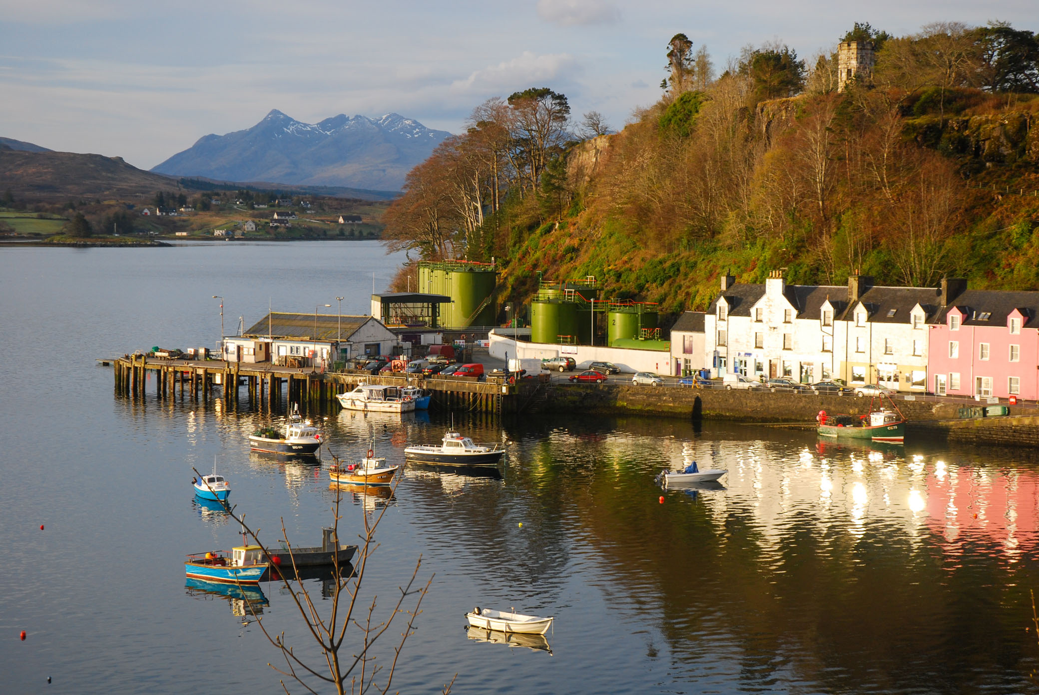
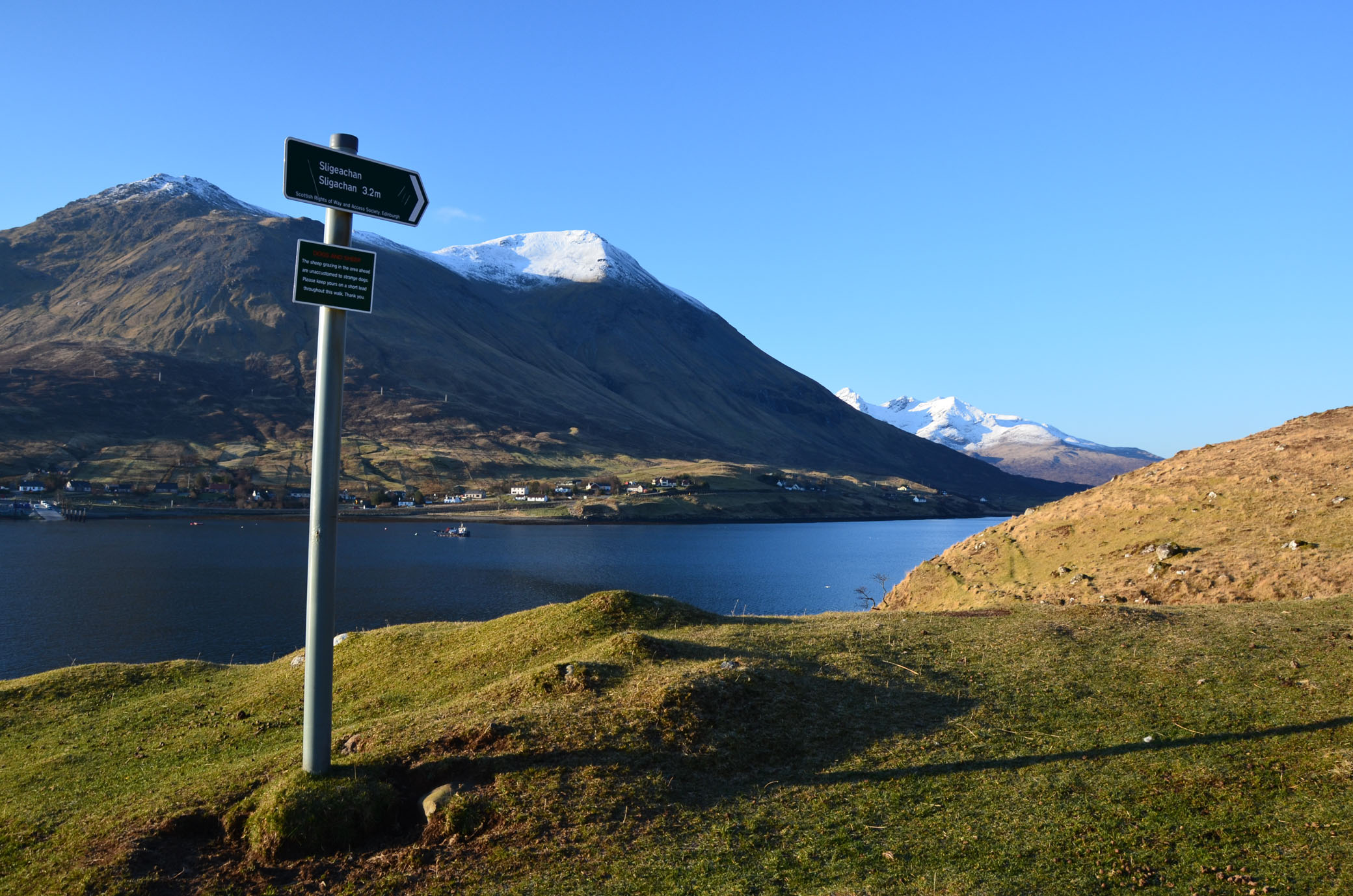
Sligachan
The Skye Trail
The Skye Trail is a challenging, unofficial long distance route through the stunning landscapes of the Isle of Skye.
The trail covers 128km of tough terrain including spectacular mountain and coastal scenery. It follows much of the celebrated Trotternish Ridge and also passes under the very shadow of the jagged Cuillin, the finest mountains in Britain. There are remarkable but almost unvisited coastal cliffs, steep trails above high drops, and the haunting ruins of deserted villages destroyed in the Highland Clearances.
The Landscape
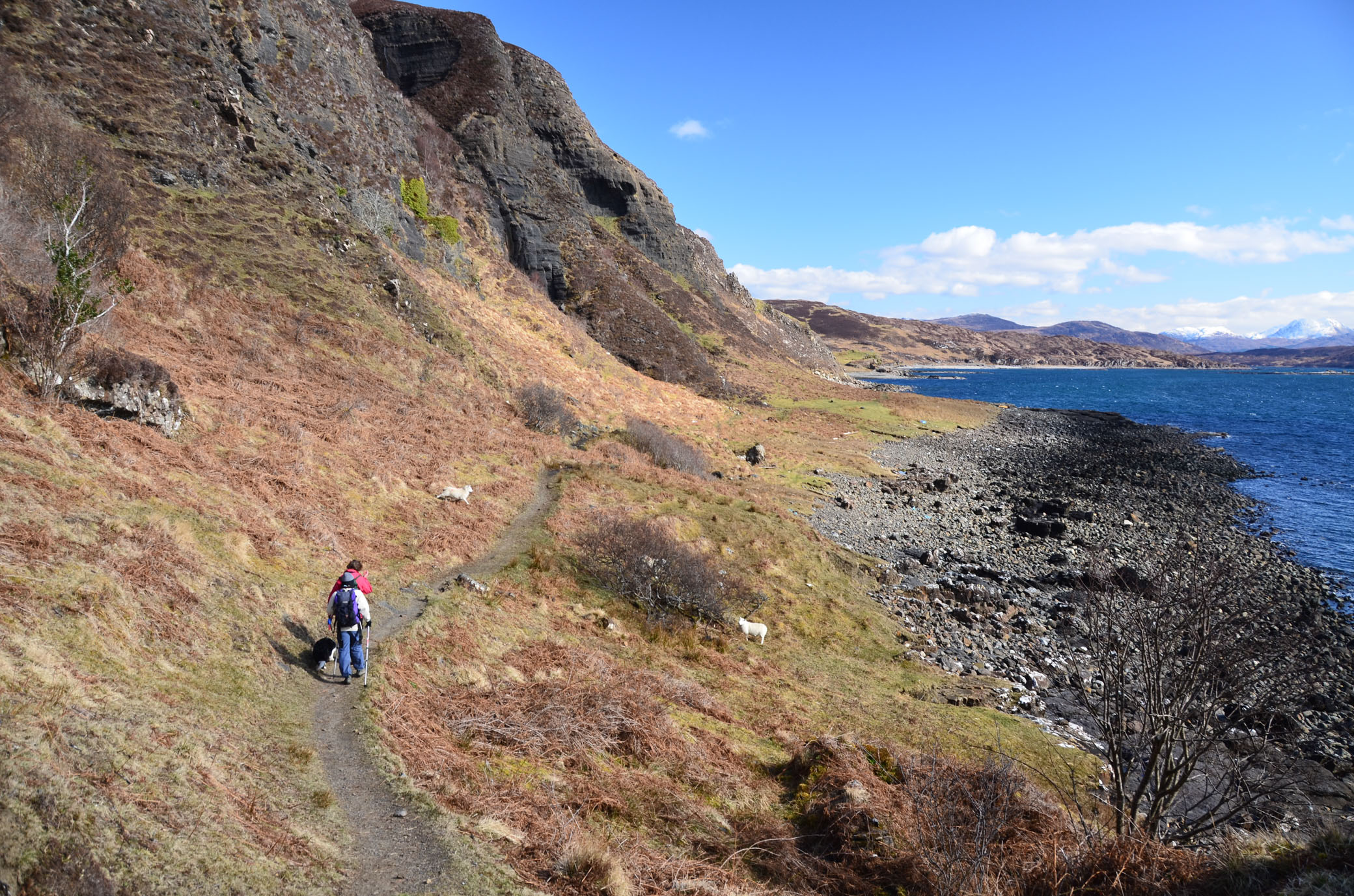
Every stage on Walkhighlands is fully illustrated with photographs, but the following gallery should help give you a flavour of the wonderful landscapes and terrain to be discovered by walking the trail.

The Wildlife
The starting point, Rubha Hunish has high columnal cliffs where Peregrine Falcons can be sometimes be seen. They often prey on the numerous nesting seabirds which include Shags, Kittiwake and Fulmars. Descend to the lower section and head to the west side where there are sea stacks and high cliffs with good views down onto the nesting birds. Puffins can sometimes be seen just off the coast but more common are Gannets fishing off the headland. The Hunish has been the summer home to a pair of Great Skuas for the past few years although they have yet to nest and breed at this site, which does mean they tend to be less defensive of their territory than normal. Rubha Hunish is also a great spot for whale watching with Minke whales often spotted, particularly in July and August in the area of turbulent water off the most northerly point. Schools of Dolphin and Propoises often pass by but are less likely to hang around like the whales. Seals often add to the mix here. There is evidence of otters, look for the distinctive, small, bright green grassy mounds fertilised by spraint, which are used to mark territories. The bay on the east side of the Hunish as you come down the steep path from the top of the cliffs is the most likely place to see them in this area.
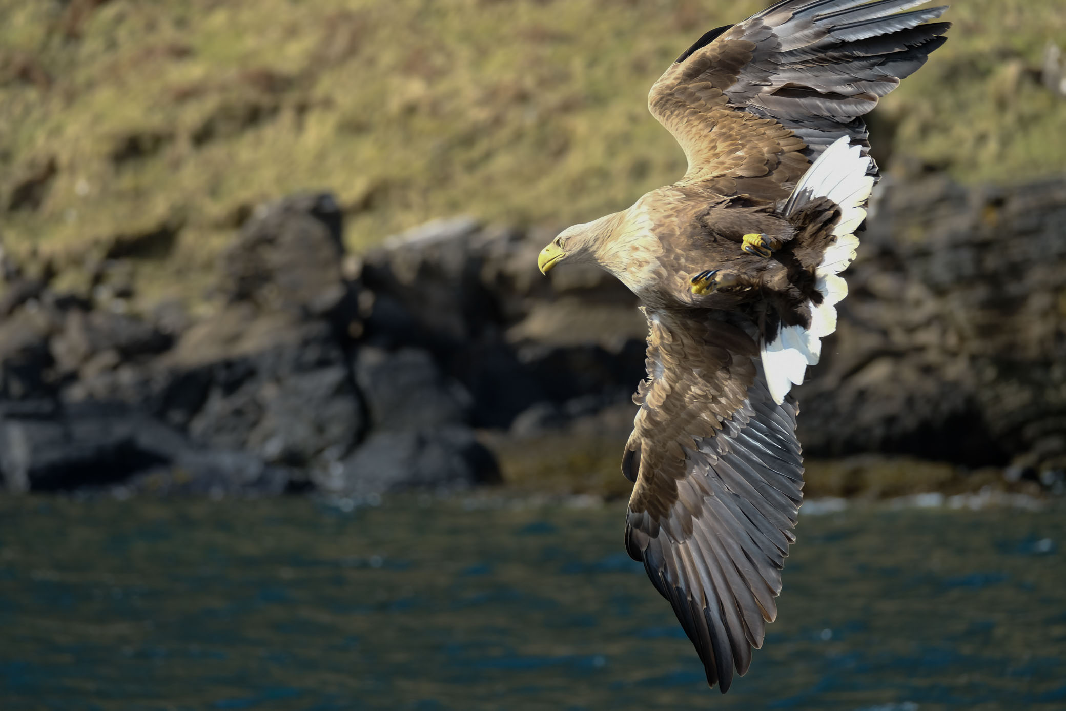
As the Trail progresses and moves away from the coast up onto the Trotternish Ridge there are good opportunities to see both Golden and White Tailed (Sea) Eagles as well as Buzzards, Merlin, and Peregrine Falcons. From the escarpment of the ridge these birds can often be seen circling in the thermals below.
The unique geology of the area has made it important for the plants it supports including a number of rare alpines, the beautifully named Arctic Mouse Ear, Mountain Avens, and Northern Rock Cress. Higher up where the going is boggier, there are many rare lichens, mosses and liverworts for the keen eyed to spot.
Portree harbour is home to a nesting Sea Eagle pair in the summer months and boat trips can be taken to see them. In addition there is an exhibition on these birds, including CCTV footage of the nest at the Aros Centre which is passed on the Trail at the start of Day Four.
Stage Four itself includes the chance to detour around An Aird from the Braes a good place for seabirds and also passing marine mammals and the obligatory seal.
Glen Sligachan is a good place to see red deer, although there aren't the big herds that you get in some parts of the Scottish mainland they can congregate in the corries here and can be heard roaring during the annual rut in October.
The coastal sections from Camusunary to Torrin provide further opportunities to see marine mammals and otters. The boat trips from Elgol go past a seal colony and people have also reported seeing whales, otters, porpoises and of course, seals from here. The woodland on the Elgol peninsula, which is rare on the island, is a haven for spring flowers and small birds.
The Challenge
Remember that the Skye Trail is NOT an official route and is suitable only for experienced hillwalkers.
It is not a waymarked route and some sections do not have paths. Parts of the route pass through fields with livestock and any dogs must be under close control. Excellent map reading skills are needed to complete the trail and this route is strictly for the experienced hillwalker. However the rewards as you walk south from the most northerly point on the island are many in terms of the diverse scenery passed, the small communities visited and the superb opportunities for watching wildlife. The route is devised for those who prefer to get well away from the beaten track and have already gained wide experience of Scottish hillwalking. There is relatively easy access by public transport, and to accommodation at the end of each stage, but it could also be done as a backpack using a mixture of campsites and wild camping in the more remote areas.
Anyone attempting a hillwalk or other wild walk in Scotland should understand and agree with the Mountaineering Scotland Participation Statement:
"Mountaineering Scotland recognises that climbing and mountaineering are activities with a danger of personal injury or death. Participants in these activities should be aware of and accept these risks and be responsible for their own actions and involvement."
The Guide
The Walkhighlands Guide
Walker's website Walkhighlands has produced a series of detailed stage descriptions covering the whole route - written by on-the-ground researchers who have walked every step of the way to check it for you. Each stage is illustrated by a series of photographs and with detailed mapping. The route description, complete with detailed offline mapping, is available to download free in the Walkhighlands app.
Access the detailed Skye Trail online guide.
Buy the Cicerone Guidebook
The print guidebook for the trail is published by Cicerone., and can be purchased on the link above.